

It’s been a nice break from the cooler weather, but I hope you didn’t get used to it!
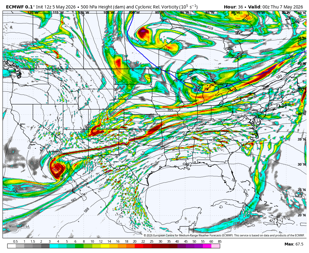
Another jet stream disturbance will race through the Northeast on Wednesday, bringing clouds and periods of showers. Clouds will keep temperatures down, especially when coupled with an onshore breeze.
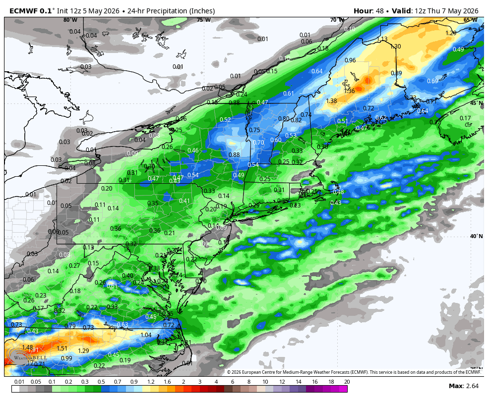
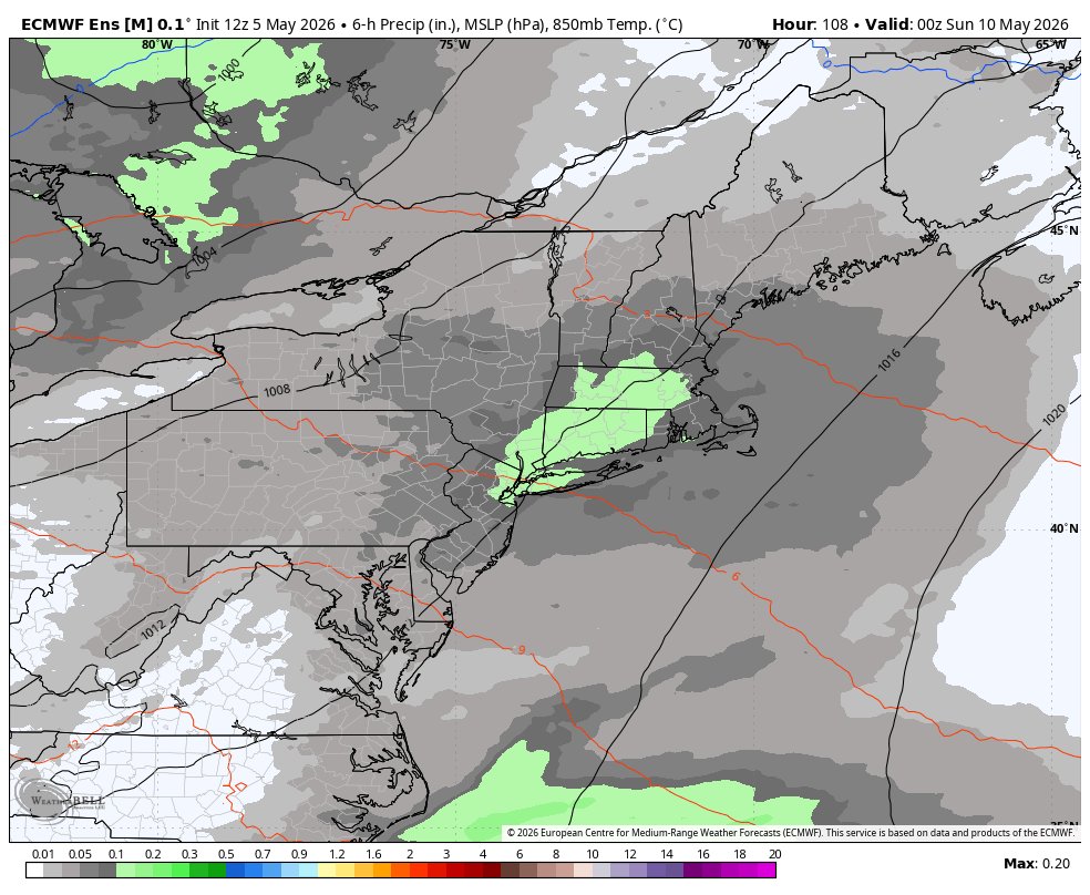
Rainfall totals don’t look impressive, with 0.5" or less across most of southern New England.
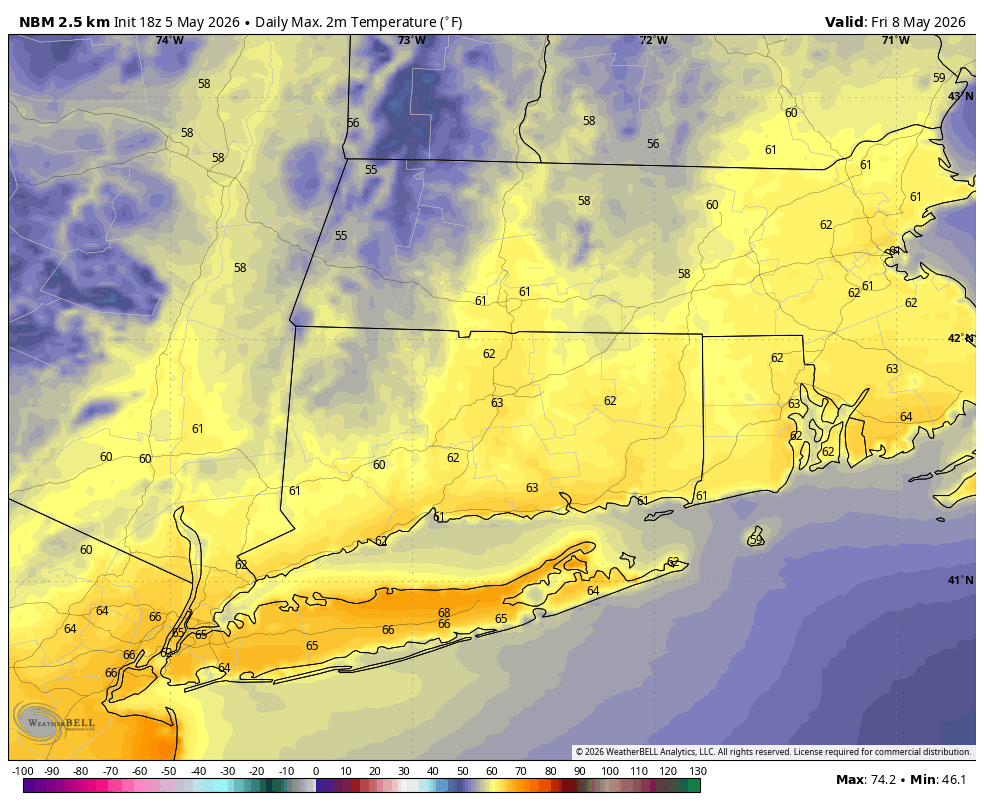
The trend from yesterday of keeping this system progressive and pushing it offshore has continued today. Thursday should turn into a nice day, with moisture shifting south and east.
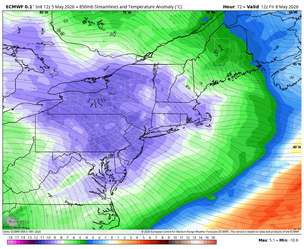
850 mb temperatures (pictured above) will be nearly 10°C below normal following Wednesday’s cold front. This will keep temperatures below normal, although sunshine and a downsloping/offshore wind will take the edge off the cool air, with highs in the 50s in the hills and low 60s elsewhere.
The weekend forecast is coming into clearer view. This fast-moving jet stream pattern will send two disturbances toward New England. The first arrives Saturday, with rain expected for a good portion of the day. The second arrives late Sunday, bringing another chance for rain.
Temperatures on Saturday will struggle to get out of the 50s with clouds and rain, but we may luck out on Mother’s Day, with a shot at the low 70s before rain arrives later in the day.
One item of interest today in the very long range is the new ECMWF El Niño forecast released today. The model is showing the potential for an extraordinary event to develop, with very large sea surface temperature anomalies over the equatorial Pacific. Strong El Niños tend to produce warmer-than-normal winters in Connecticut. If you’re a snow lover, it may not be a total lost cause—one of the strongest El Niños on record during the 1982–1983 winter produced a significant blizzard in February.

Here is your Daily Weather Almanac for Wednesday, May 06, 2026
🏙️ Hartford Area 30 Year Normals
- Normal High: 69°F
- Normal Low: 46°F
🏛️ Hartford Area (BDL) Records
- Record High (max temp): 89°F (1930)
- Record Low (min temp): 32°F (1992) (tie — also in 1961)
- Record Highest Minimum: 65°F (1934)
- Record Lowest Maximum: 48°F (1917)
- Record Precipitation: 2.72 in (1991)
- Record Snowfall: 0.0 in (2025)
- Max Snow Depth: 0 in (2025) ⚠️ (monthly record)
🏖️ Bridgeport Area (BDR) Records
- Record High (max temp): 85°F (1986)
- Record Low (min temp): 38°F (1996) (tie — also in 1992, 1970)
- Record Highest Minimum: 58°F (2025)
- Record Lowest Maximum: 48°F (1958)
- Record Precipitation: 1.82 in (1991)
- Record Snowfall: 0.0 in (2025) ⚠️ (monthly record)
- Max Snow Depth: 0 in (2025) ⚠️ (monthly record)
🌅 Sunrise & Sunset
- Sunrise: 05:41
- Sunset: 19:55
🌙 Moon Phase
----------------------------------------
- Next Moon Phase: Last Quarter on Sat May 09, 2026
📅 Calendar
----------------------------------------
- Next 3 Holidays:
- Mother’s Day on Sun May 10 (in 4 days)
- Memorial Day on Mon May 25 (in 19 days)
- Juneteenth National Independence Day on Fri Jun 19 (in 44 days)
🌊 New Haven High Tides
- 02:43 AM EDT • 6.16 ft
- 03:21 PM EDT • 5.69 ft
🌊 Old Saybrook High Tides
- 02:18 AM EDT • 3.75 ft
- 03:00 PM EDT • 3.12 ft
🌊 New London High Tides
- 01:07 AM EDT • 2.76 ft
- 01:49 PM EDT • 2.30 ft